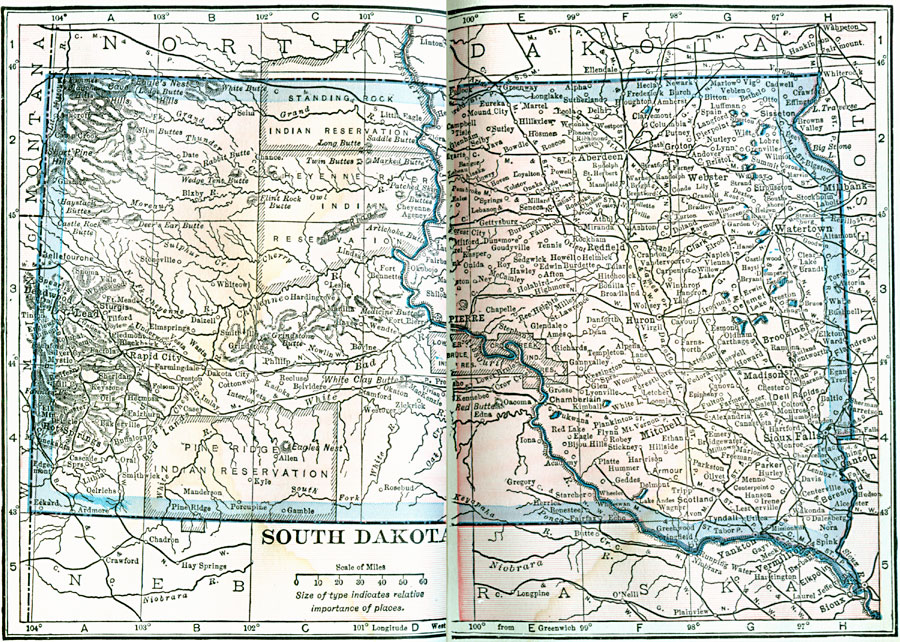
Description: A map from 1922 of South Dakota showing the capital at Pierre, principal cities and towns, Indian reservations, railroads, mountains, lakes, and rivers.
Place Names: South Dakota, Sioux Falls, �Mitchell, �Brookings, �Watertown, �Aberdeen, �Pierre, �Deadwood, �Lead, �Huron, �Yankto
ISO Topic Categories: boundaries,
location,
inlandWaters
Keywords: South Dakota, physical, kNativeAmerican, physical features, boundaries,
location,
inlandWaters, Unknown, 1922
Source: , Putnam's Handy Map Book (New York, NY: G. P. Putnam's Sons, 1922) 292-293
Map Credit: Courtesy the private collection of Roy Winkelman |
|