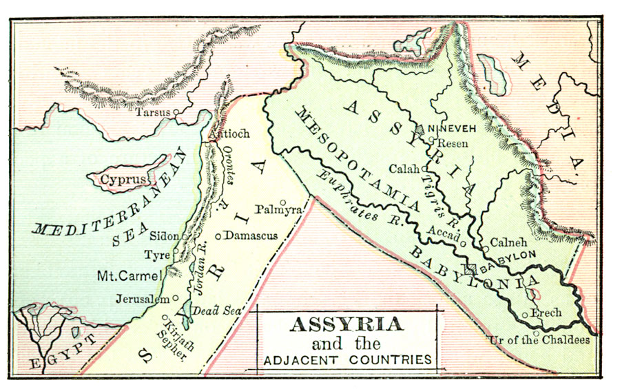
Description: Early civilization around the eastern Mediterranean Sea.
Place Names: Regional Mediterranean, Syria, �Cyprus, �Egypt, �Assyria, �Mesopotamia, �Babylonia, �Mediterranean Sea,
ISO Topic Categories: physical, kWorldMedSea, kWorldAfroAsia
Keywords: Assyria and the Adjacent Countries, physical, physical features, physical, kWorldMedSea, kWorldAfroAsia, Unknown, 200 B.C.
Source: John D. Quackenbos, Illustrated History of Ancient Literature, Oriental and Classical (New York, New York: Harper and Brothers, 1901) 105
Map Credit: Courtesy the private collection of Roy Winkelman |
|