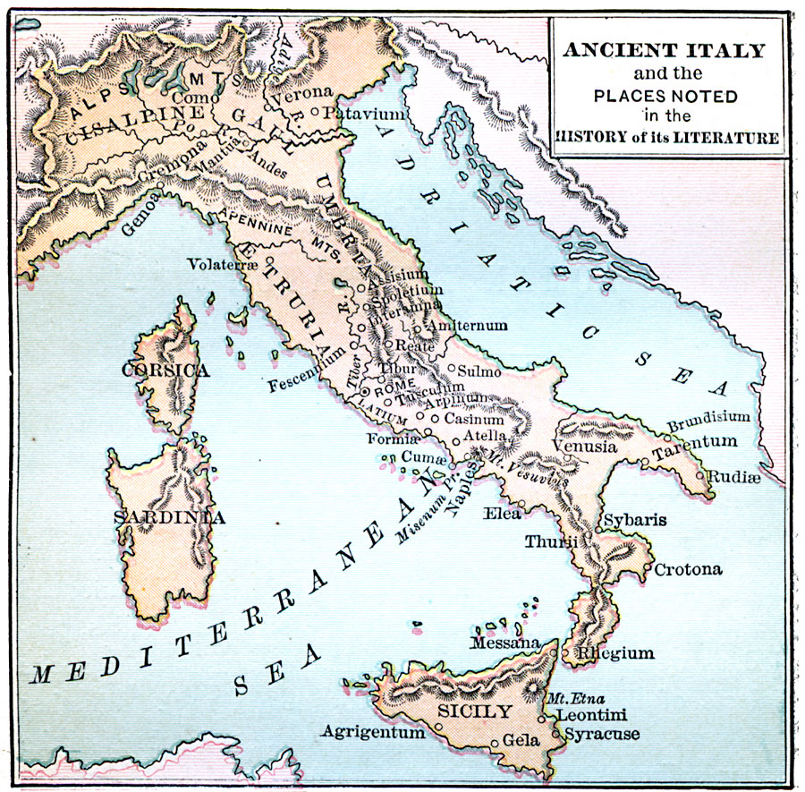
Description: A map of ancient Italy subtitled "Places noted in the History of its Literature." This map shows the districts of Cisalpine Gaul, Umbria, and Etruria, the islands of Corsica, Sardinia, and Sicily, major cities, rivers, seas, and mountain systems of the area.
Place Names: Italy, Sicily, �Sardinia, �Corsica, �Genoa, �Verona, �Sybaris, �Venusia, �Patavium, ��Rom
ISO Topic Categories: location,
inlandWaters
Keywords: Ancient Italy, physical, kAncientRome, physical features, location,
inlandWaters, Unknown, 753 BC to AD 663
Source: John D. Quackenbos, Illustrated History of Ancient Literature, Oriental and Classical (New York, New York: Harper and Brothers, 1901) 304
Map Credit: Courtesy the private collection of Roy Winkelman |
|