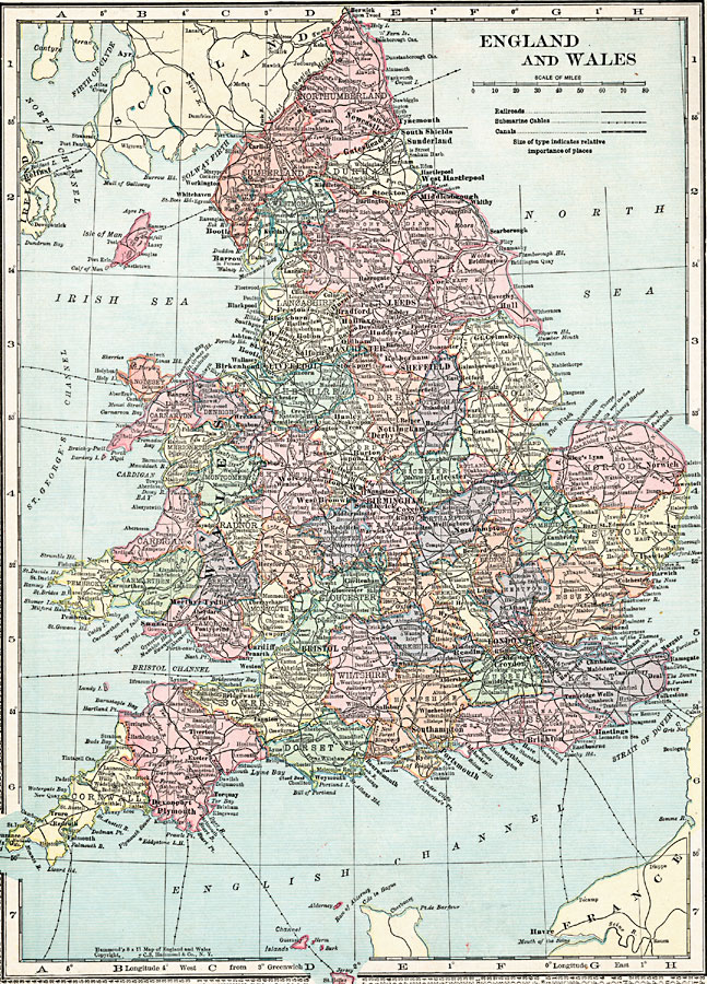
Description: A map of England and Wales in 1920, showing the counties, major cities, towns, and ports, railroads, canals, submarine cables, and rivers.
Place Names: United Kingdom, Bristol, �London, �Newcastle, �Manchester, �Plymout
ISO Topic Categories: boundaries,
inlandWaters,
location,
transportation
Keywords: England and Wales, physical, �transportation, physical features, railroads,
water routes, boundaries,
inlandWaters,
location,
transportation, Unknown, 1920
Source: , Hammond's Modern Atlas of the World (New York, New York: C. S. Hammond and Company, Inc., 1920) 38
Map Credit: Courtesy the private collection of Roy Winkelman |
|