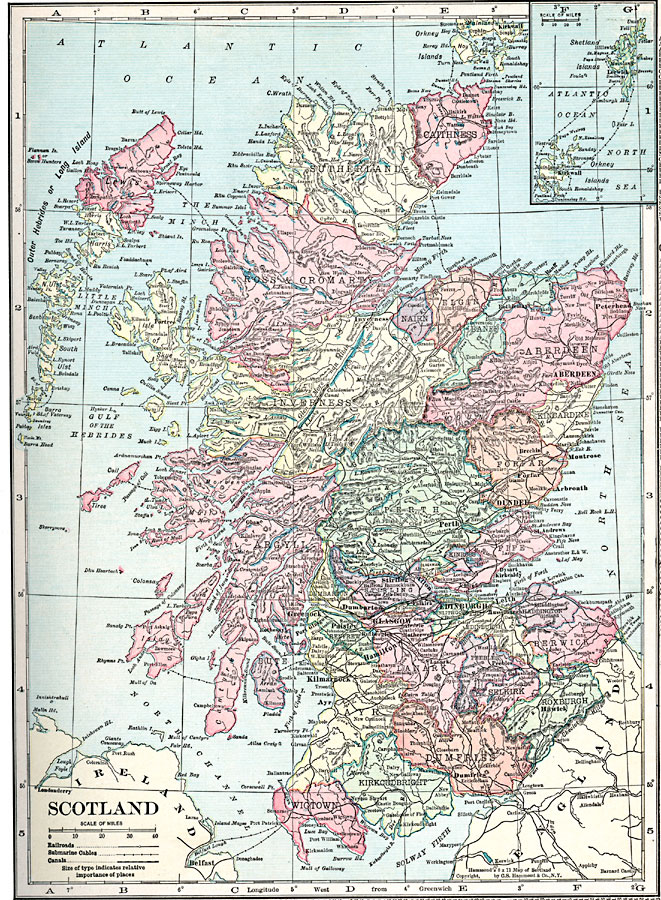
Description: A map of Scotland from 1920, showing counties, major cities, towns, railroads, canals, submarine cables, rivers, lakes, terrain, and coastal features. An inset map shows the Orkney and Shetland islands.
Place Names: United Kingdom, Dundee, �Glasgow, �Edinburgh,�Aberdeen, �Outer Hebrides, �Isle of Skye,
ISO Topic Categories: boundaries,
location,
inlandWaters,
oceans,
transportation
Keywords: Scotland, physical, �transportation, physical features, railroads,
water routes, boundaries,
location,
inlandWaters,
oceans,
transportation, Unknown, 1920
Source: , Hammond's Modern Atlas of the World (New York, New York: C. S. Hammond and Company, Inc., 1920) 39
Map Credit: Courtesy the private collection of Roy Winkelman |
|