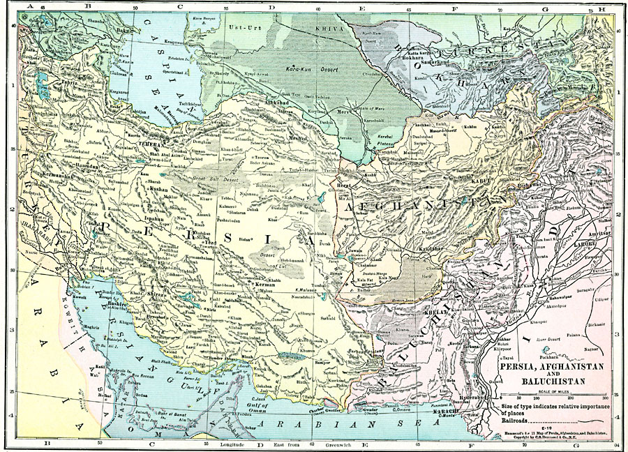
Description: A map from 1920 of Persia, Afghanistan, and Baluchistan showing the political boundaries at the time. The map shows capitals and major cities, ports, railways, mountain systems, plateaus, deserts, rivers, and coastal features of the region.
Place Names: A Regional Map of Asia, Persia, �Teheran, �Afghanistan, �Kabul, �Baluchistan, �Khelat, �Bokhara, �Turkestan,
ISO Topic Categories: boundaries,
inlandWaters,
location,
transportation
Keywords: Persia, Afghanistan, and Baluchistan, physical, �transportation, physical features, railroads, boundaries,
inlandWaters,
location,
transportation, Unknown, 1920
Source: , Hammond's Modern Atlas of the World (New York, NY: C. S. Hammond and Company, Inc., 1920) 60
Map Credit: Courtesy the private collection of Roy Winkelman |
|