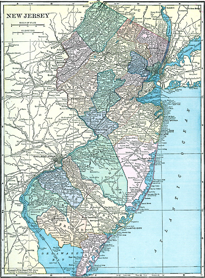
Description: The western part New Jersey, showing physical features.
Place Names: New Jersey, Trenton, �Burlington, �Camden, �Atlantic City, �Salem, �Jersey City, �Elizabeth, �Newark, �Paterson, �New Brunswic
ISO Topic Categories: boundaries,
inlandWaters,
location
Keywords: New Jersey, physical, �political, physical features, county borders, boundaries,
inlandWaters,
location, Unknown, 1920
Source: , Hammond's Modern Atlas of the World (New York, NY: C. S. Hammond and Company, Inc., 1920) 71
Map Credit: Courtesy the private collection of Roy Winkelman |
|