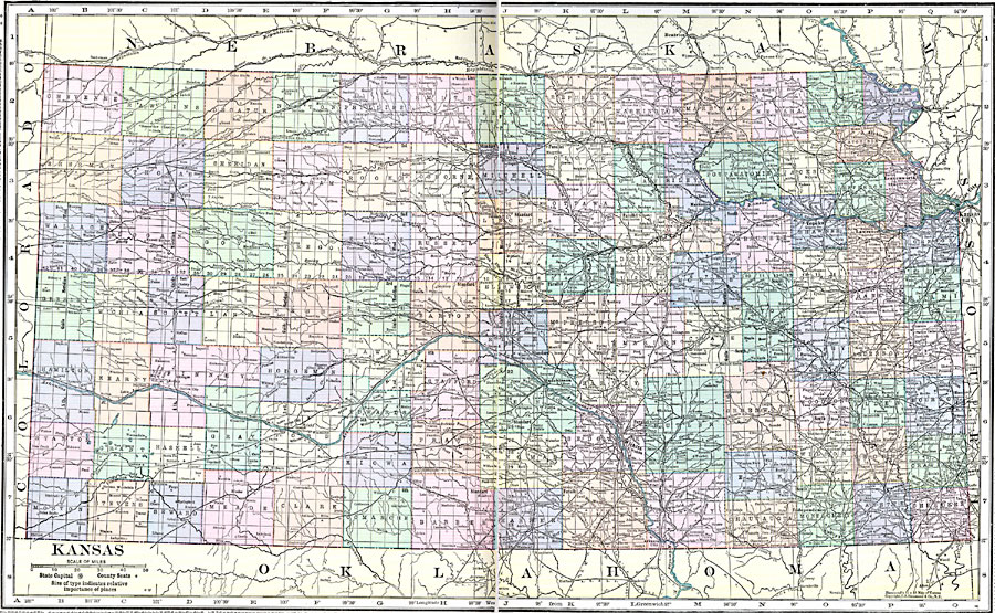
Description: A map from 1920 of Kansas showing the State capital of Topeka, counties and county seats, major cities and towns, railroads, and rivers.
Place Names: Kansas, Wichita, �Kansas City, �Atchinson, �Topeka, �Dodge City, �Emporia, �Junction, �Leavenworth, �Parson
ISO Topic Categories: boundaries,
location,
inlandWaters
Keywords: Kansas, physical, �political, physical features, county borders, boundaries,
location,
inlandWaters, Unknown, 1920
Source: , Hammond's Modern Atlas of the World (New York, NY: C. S. Hammond and Company, Inc., 1920) 108-109
Map Credit: Courtesy the private collection of Roy Winkelman |
|