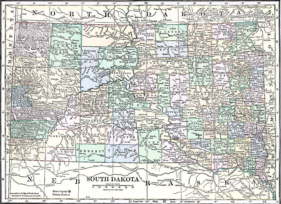
Description: A map from 1920 of South Dakota showing the capital at Pierre, counties and county seats, principal cities and towns, railroads, mountains, lakes, and rivers.
Place Names: South Dakota, Lead, �Sioux Falls, �Yankton, �Deadwood, �Pierre, �Mitchell, �Brookings, �Aberdeen, �Huron, �Watertow
ISO Topic Categories: boundaries,
location,
inlandWaters
Keywords: South Dakota, physical, �political, physical features, county borders, boundaries,
location,
inlandWaters, Unknown, 1920
Source: , Hammond's Modern Atlas of the World (New York, NY: C. S. Hammond and Company, Inc., 1920) 113
Map Credit: Courtesy the private collection of Roy Winkelman |
|