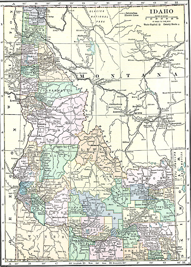
Description: A map from 1920 of Idaho showing the capital city Boise, counties and county seats, towns, railroads, interurban electric lines, mountain systems, lakes, and rivers.
Place Names: Idaho, Pocatello, �Boise City, �Caldwell, �Lewiston, �Moscow, �Nampa, �Silver Cit
ISO Topic Categories: boundaries,
location,
inlandWaters
Keywords: Idaho, physical, �political, physical features, county borders, boundaries,
location,
inlandWaters, Unknown, 1920
Source: , Hammond's Modern Atlas of the World (New York, NY: C. S. Hammond and Company, Inc., 1920) 116
Map Credit: Courtesy the private collection of Roy Winkelman |
|