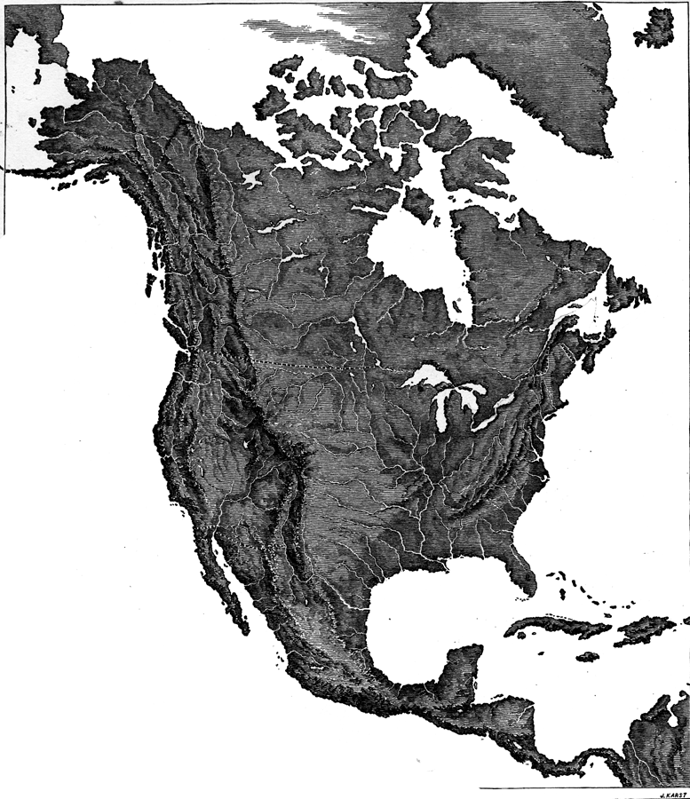
Description: A base relief map from 1872 of North America, Central America, Greenland, and the Caribbean to Puerto Rico showing the general mountain systems, highlands, and plains of the region. Major river systems are shown.
Place Names: A Complete Map of North America, Canada, �United States, �Bahamas, �Cuba, �Mexic
ISO Topic Categories: location,
inlandWaters,
oceans
Keywords: Relief of North America, physical, kRelief, physical features, location,
inlandWaters,
oceans, Unknown, 1872
Source: James Monteith, Comprehensive Geography (New York, NY: A. S. Barnes and Company, 1872) 18
Map Credit: Courtesy the private collection of Roy Winkelman |
|