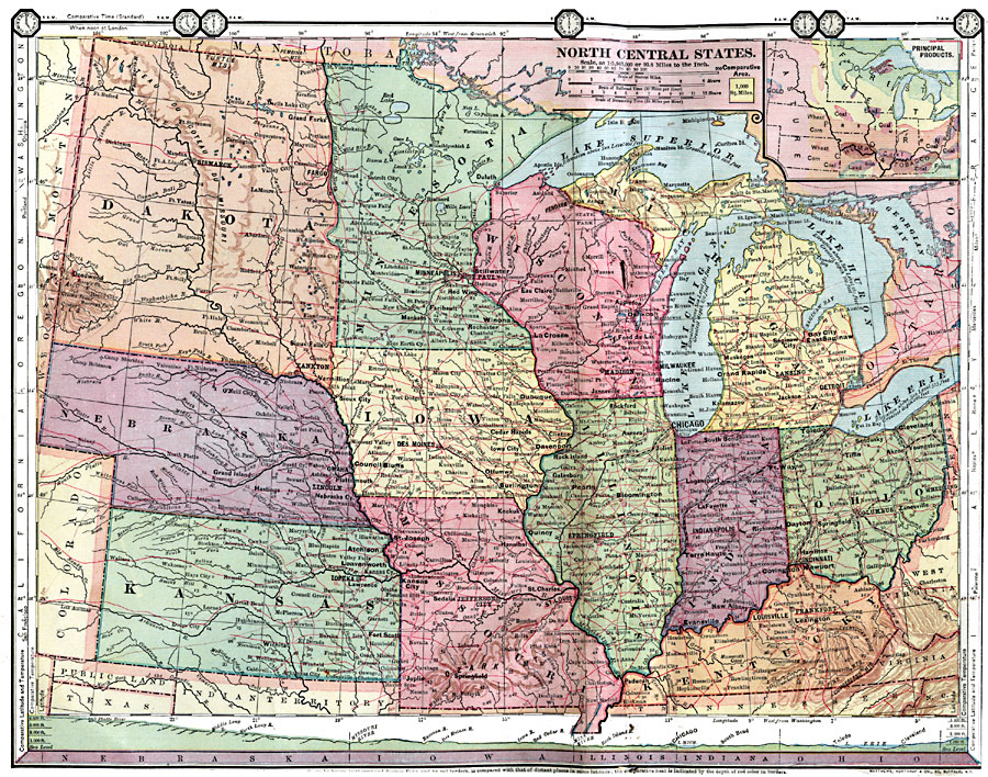
Description: The central states, showing physical features. Includes inserts of principal products. Time zones are provided. Red numbers indicate the rank of cities in population. Select land elevations are given.
Place Names: Midwest States, Chicago, �Dakota, �Nebraska, �Kansas, �Minnesota, �Iowa, �Missouri, �Wisconsin, �Michigan, �Illinois, �Indiana, �Ohio, �Kentucky,
ISO Topic Categories: boundaries,
location,
inlandWaters,
society,
elevation,
economy,
farming
Keywords: Central States, physical, �statistical, physical features, population,
agriculture,
economic, boundaries,
location,
inlandWaters,
society,
elevation,
economy,
farming, Unknown, 1872
Source: James Monteith, Comprehensive Geography (New York, NY: A. S. Barnes and Company, 1872) 40-41
Map Credit: Courtesy the private collection of Roy Winkelman |
|