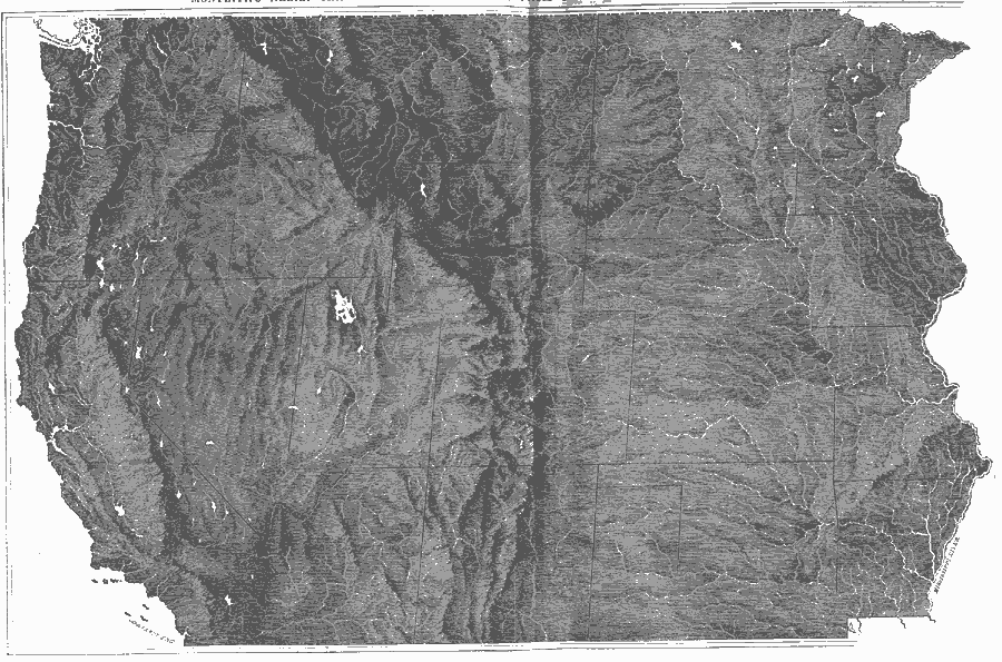
Description: Relief of states west of the Mississippi River.
Place Names: Western States, Washington, �Oregon, �California, �Nevada, �Idaho, �Utah, �Colorado, �Arizona, �New Mexico, �Montana, �Wyoming, �Dakota, �Nebraska, �Kansas, �Minnesota, �Iowa, �Missouri, �Arkansas, ��Pacific States, �Rocky Mountain
ISO Topic Categories: location,
oceans
Keywords: Relief of States West of the Mississippi River, physical, kRelief, physical features, location,
oceans, Unknown, 1872
Source: James Monteith, Comprehensive Geography (New York, NY: A. S. Barnes and Company, 1872) 48-49
Map Credit: Courtesy the private collection of Roy Winkelman |
|