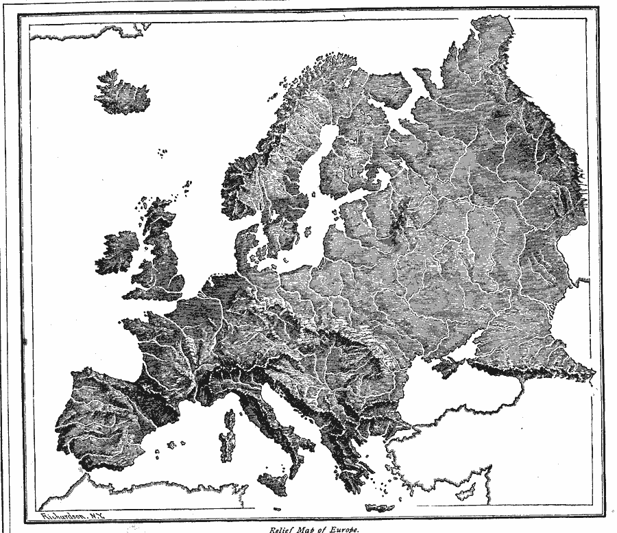
Description: A relief map of Europe showing major land forms and rivers.
Place Names: A Complete Map of Europe, Spain, �United Kingdom, �Sweden, �France, �Ital
ISO Topic Categories: location,
inlandWaters
Keywords: Relief Map of Europe, physical, kRelief, physical features, location,
inlandWaters, Unknown, 1872
Source: James Monteith, Comprehensive Geography (New York, New York: A. S. Barnes and Company, 1872) 60
Map Credit: Courtesy the private collection of Roy Winkelman |
|