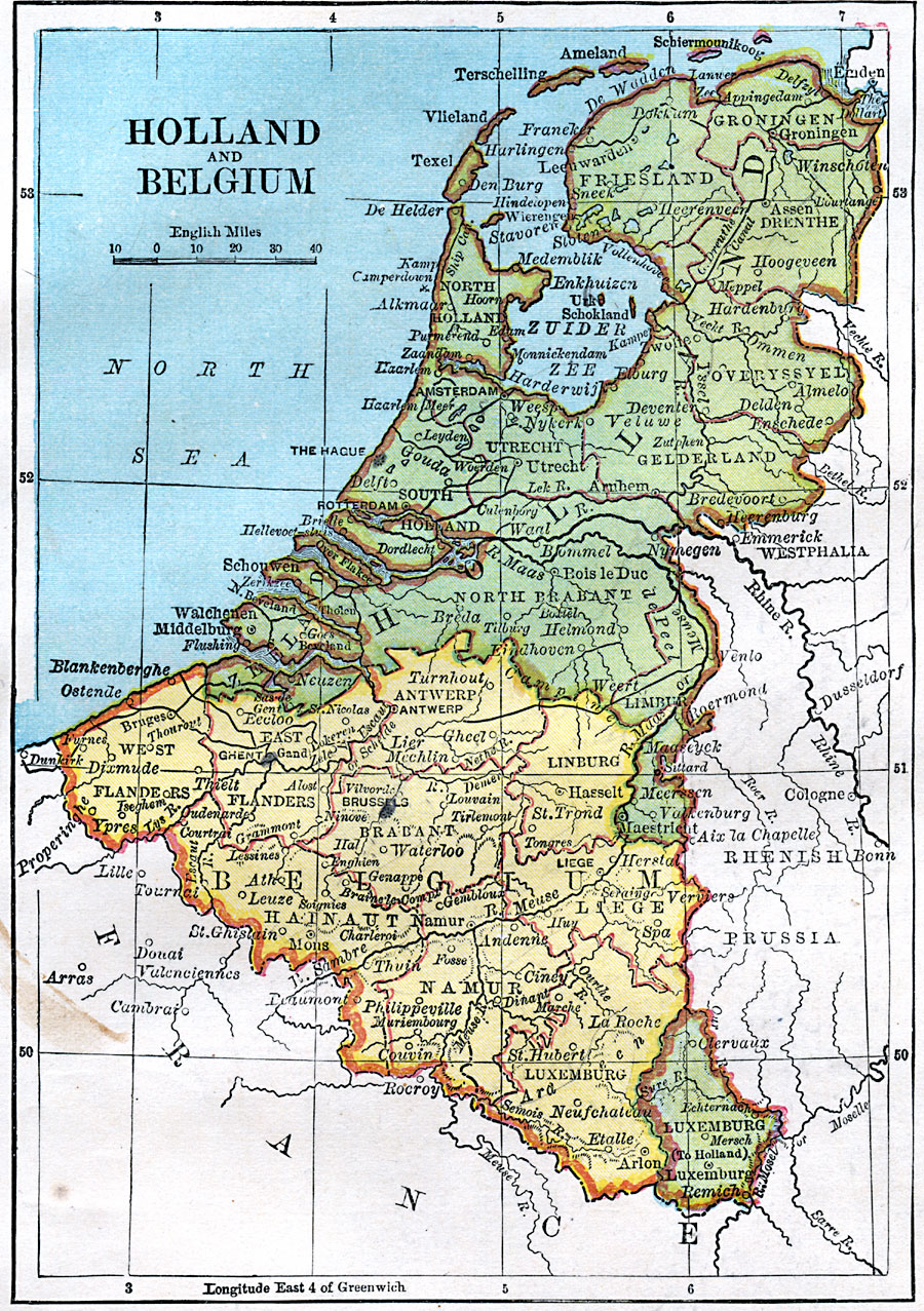
Description: A map from 1872 of Holland and Belgium, showing boundaries, principal cities, canals, and provinces of the countries. The map shows a portion of Germany's Rhenish Prussia, and shows Luxemburg as a possession of Holland.
Place Names: Low Countries, Belgium, �Holland, �Luxemburg,
ISO Topic Categories: boundaries,
location,
inlandWaters
Keywords: Holland and Belgium, physical, �political, physical features, country borders, boundaries,
location,
inlandWaters, Unknown, 1872
Source: James Monteith, Comprehensive Geography (New York, NY: A. S. Barnes and Company, 1872) 67
Map Credit: Courtesy the private collection of Roy Winkelman |
|