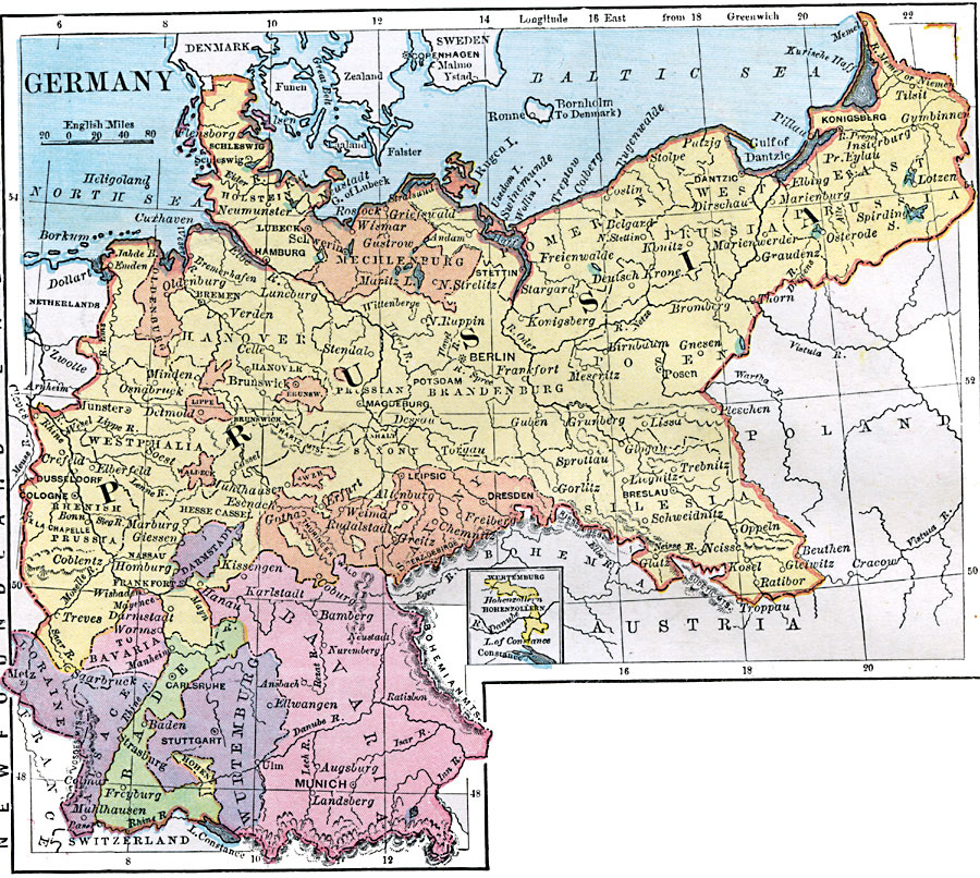
Description: A map of Germany in 1872, showing the extent of Prussia, the German states which joined Prussia to make the German Empire, and Alsace and Lorraine territories taken from France in 1871. The map shows cities, rivers, and terrain, and an inset map of Hohenzollern in Wurttemberg on Lake Constance
Place Names: Germany, Dresden, �Hamburg, �Bremen, �Cologne, �Frankfurt am Main, �Mannheim, �Hannover, �Berlin,
ISO Topic Categories: boundaries,
location,
inlandWaters
Keywords: Germany, physical, �political, physical features, county borders, boundaries,
location,
inlandWaters, Unknown, 1872
Source: James Monteith, Comprehensive Geography (New York, New York: A. S. Barnes and Company, 1872) 68
Map Credit: Courtesy the private collection of Roy Winkelman |
|