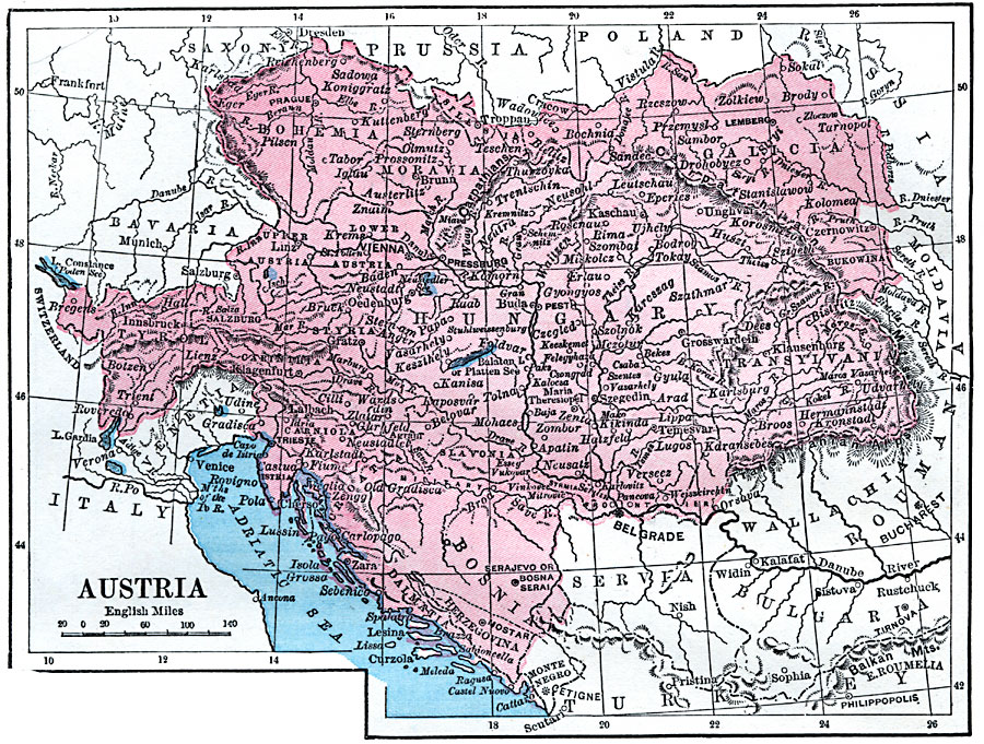
Description: A map of the Austrian territory in 1872, which included Hungary, Bohemia, Galica, Transylvania, Slavonia, Bosnia–Herzegovina, Carniola, Styria, and Tyrol. This map shows major cities and towns, rivers, and mountains of the country.
Place Names: Austria, Vienna, �Salzburg, �Innsbruck, �Bregenz, �Lin
ISO Topic Categories: boundaries,
location,
inlandWaters
Keywords: Austria, physical, physical features, boundaries,
location,
inlandWaters, Unknown, 1872
Source: James Monteith, Comprehensive Geography (New York, New York: A. S. Barnes and Company, 1872) 70
Map Credit: Courtesy the private collection of Roy Winkelman |
|