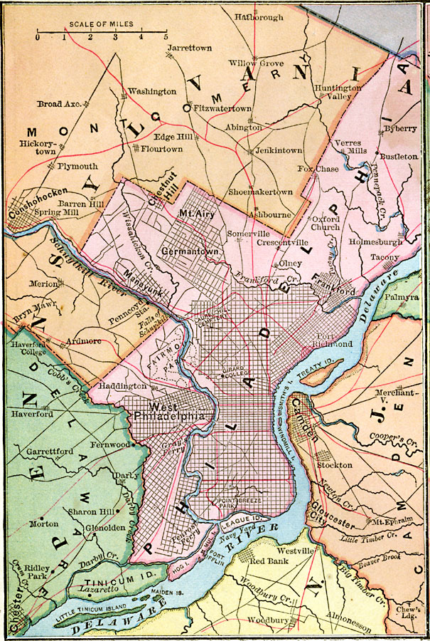
Description: A map from 1883 of Philadelphia and vicinity showing neighboring counties, cities and towns, railroads, principal roads, landmarks, and rivers.
Place Names: Pennsylvania, Philadelphia, �Frankford, �Chester, �Conshohocken,
ISO Topic Categories: boundaries,
location,
inlandWaters
Keywords: Philadelphia and Vicinity, physical, �political, physical features, county borders, boundaries,
location,
inlandWaters, Unknown, 1883
Source: , Handy Atlas of the World (New York, NY: Ivison, Blakeman, Taylor and Co., 1883) 10
Map Credit: Courtesy the private collection of Roy Winkelman |
|