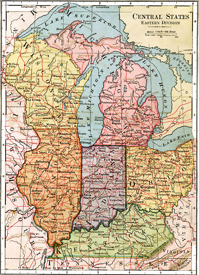
Description: States of the east central United States.
Place Names: Midwest States, Chicago, �Illinois, �Springfield, �Wisconsin, �Madison, �Michigan, �Lansing, �Indiana, �Indianapolis, �Ohio, �Columbus, �Kentucky, �Frankfor
ISO Topic Categories: boundaries,
location,
inlandWaters
Keywords: East Central States, physical, physical features, boundaries,
location,
inlandWaters, Unknown, 1883
Source: , Handy Atlas of the World (New York, NY: Ivison, Blakeman, Taylor and Co., 1883) 13
Map Credit: Courtesy the private collection of Roy Winkelman |
|