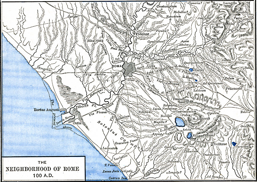
Description: A map of Rome, Italy and surrounding vicinity around 100 AD. This map shows Rome on the River Tiberis, the present shoreline of the Tiber delta, neighboring cities, major roads, rivers, lakes, coastal features, and terrain of the area.
Place Names: Italy, Ardea, �Fidenae, �Gabii, �Rome, �Tibu
ISO Topic Categories: oceans,
location,
inlandWaters
Keywords: The Neighborhood of Rome, borders, kAncientRome, oceans,
location,
inlandWaters, Unknown, 100 AD
Source: Robert H. Labberton, New Historical Atlas and General History (New York, NY: Townsend MacCoun, 1886) Plate XIII
Map Credit: Courtesy the private collection of Roy Winkelman |
|