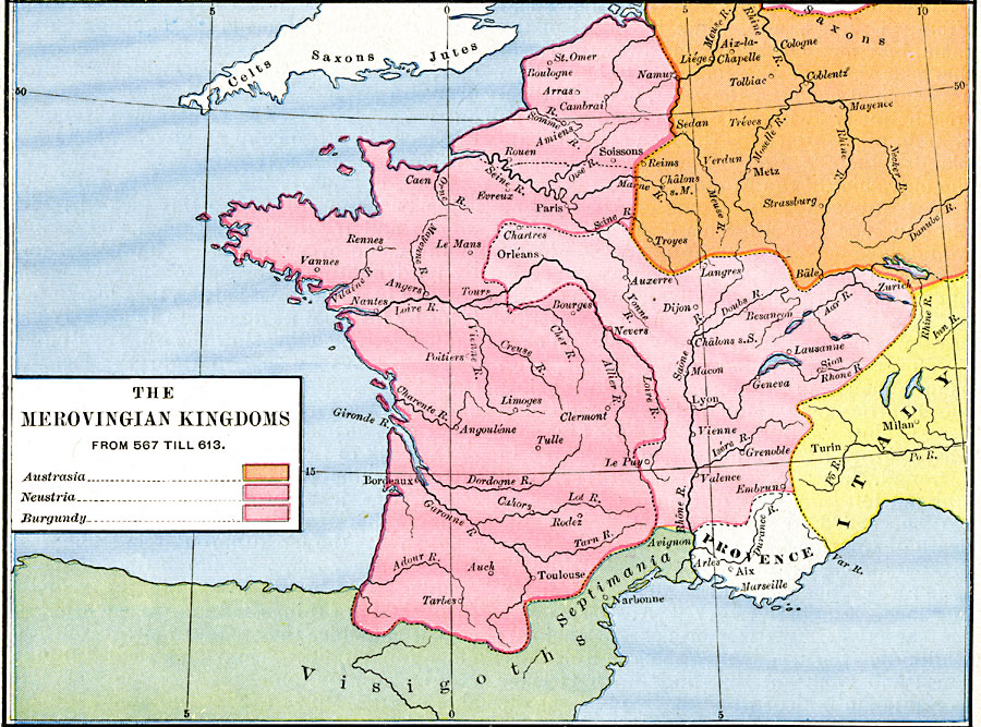
Description: A map of Western Europe showing the Merovingian Kingdoms from 507 till 613. This map is color–coded to show the territories of Neustria in western France, Burgundy in eastern France, Provence, and portions of Austrasia, Italy, and the territory of the Visigoths in Spain and Septimania. The map shows important cities of the time and major rivers.
Place Names: Western and Central Europe, Italy, �Provence,
ISO Topic Categories: oceans,
location,
inlandWaters,
boundaries
Keywords: The Merovingian Kingdoms, borders, oceans,
location,
inlandWaters,
boundaries, Unknown, A.D. 507–613
Source: Robert H. Labberton, New Historical Atlas and General History (New York, NY: Townsend MacCoun, 1886) Plate XXIII
Map Credit: Courtesy the private collection of Roy Winkelman |
|