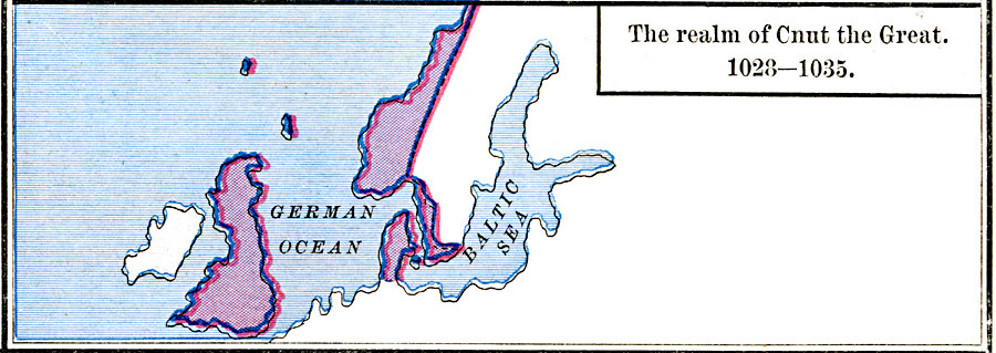
Description: A map of Britain and Scandinavia showing the realm of Cnut the Great (Knut), the Viking king of England, Denmark, Norway, and parts of Sweden in 1028–1035. The map shows the German Sea (North Sea) and Baltic Sea.
Place Names: Miscellaneous Europe, Baltic Sea, �German Ocea
ISO Topic Categories: oceans,
location,
inlandWaters
Keywords: The Realm of Cnut the Great, borders, �historical, other military, oceans,
location,
inlandWaters, Unknown, 1028–1035
Source: Robert H. Labberton, New Historical Atlas and General History (New York, NY: Townsend MacCoun, 1886) Plate XXIX
Map Credit: Courtesy the private collection of Roy Winkelman |
|