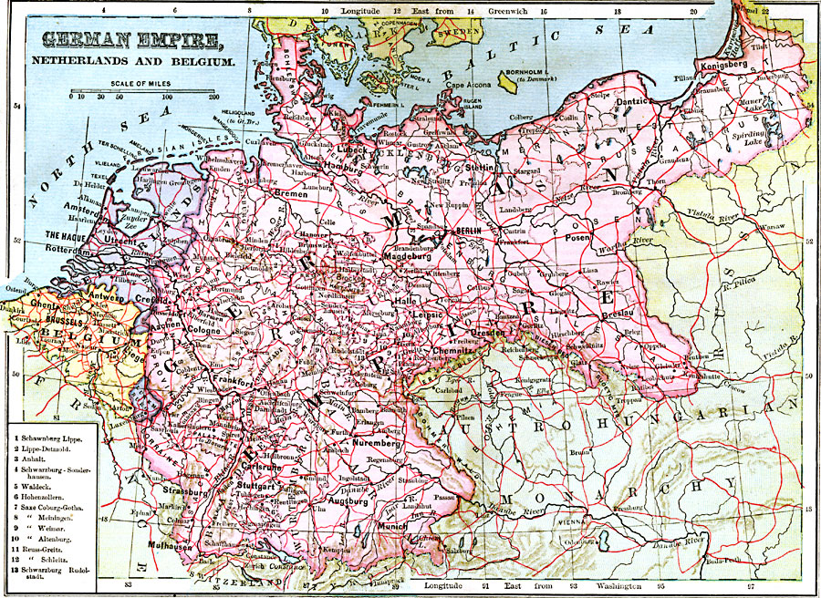
Description: A political map of the German Empire, Netherlands, and Belgium in 1883 showing the established borders of the time, including major cities, railways, rivers and mountain systems, and a key reference to the smaller German states.
Place Names: Central Europe, Berlin, �Bremen, �Hannover, �Frankfurt am Main, �Cologne, �Dresden, �Hamburg, �Mannheim, �Brussels, �Antwerp, �Liege, �Mons, �Namur, �Amsterdam, �Tilburg, �Rotterdam, �Utrecht, �Haarlem, �Zwoll
ISO Topic Categories: boundaries,
inlandWaters,
location
Keywords: German Empire, Netherlands, and Belgium, physical, �political, physical features, country borders, boundaries,
inlandWaters,
location, Unknown, 1883
Source: , Handy Atlas of the World (New York, NY: Ivison, Blakeman, Taylor and Co., 1883) 24
Map Credit: Courtesy the private collection of Roy Winkelman |
|
