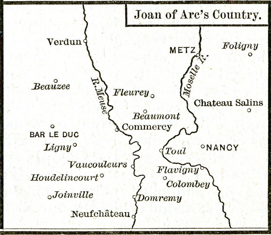
Description: A map of the region of France showing important sites in the early life of Joan of Arc (1412–1431), including her birthplace (Domremy), and Voucouleurs where she petitioned to visit Dauphin Charles VII and the royal French court.
Place Names: France, Bar le Duc, �Metz, �Nancy, �Verdu
ISO Topic Categories: oceans,
location,
inlandWaters
Keywords: Joan of Arc's Country, borders, oceans,
location,
inlandWaters, Unknown, 1412–1431
Source: Robert H. Labberton, New Historical Atlas and General History (New York, NY: Townsend MacCoun, 1886) Plate XXXVIII
Map Credit: Courtesy the private collection of Roy Winkelman |
|