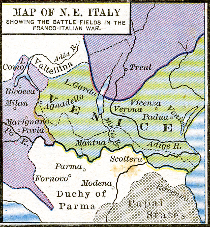
Description: A map of northeastern Italy showing important battlefields of the Italian Wars (1495–1559) in the region. Sites include Fornovo (1495), Vicenza (1508), Agnadello (1509), Padua (1509), Modena (1510), Ravenna (1512), Marignano (1515), Bicocca (1522), Milan (1525), and Pavia (1525).
Place Names: Italy, Venice, �Veron
ISO Topic Categories: oceans,
location,
inlandWaters
Keywords: Map of N. E. Italy showing the battlefields in the Franco-Italian War, borders, �historical, other military, oceans,
location,
inlandWaters, Unknown, 1521–1598
Source: Robert H. Labberton, New Historical Atlas and General History (New York, NY: Townsend MacCoun, 1886) Plate XLIII
Map Credit: Courtesy the private collection of Roy Winkelman |
|