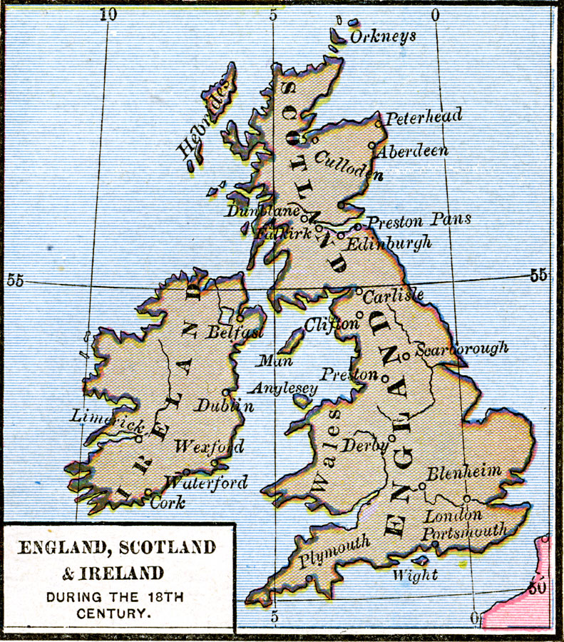
Description: Map of England, Scotland, and Ireland during the 18th Century, showing important cities of the time and major rivers.
Place Names: United Kingdom, England, �Ireland, �Scotland, �Wale
ISO Topic Categories: oceans,
location,
inlandWaters,
boundaries
Keywords: England, Scotland, and Ireland, borders, �political, country borders, oceans,
location,
inlandWaters,
boundaries, Unknown, 18th Century
Source: Robert H. Labberton, New Historical Atlas and General History (New York, NY: Townsend MacCoun, 1886) Plate XLVIII
Map Credit: Courtesy the private collection of Roy Winkelman |
|