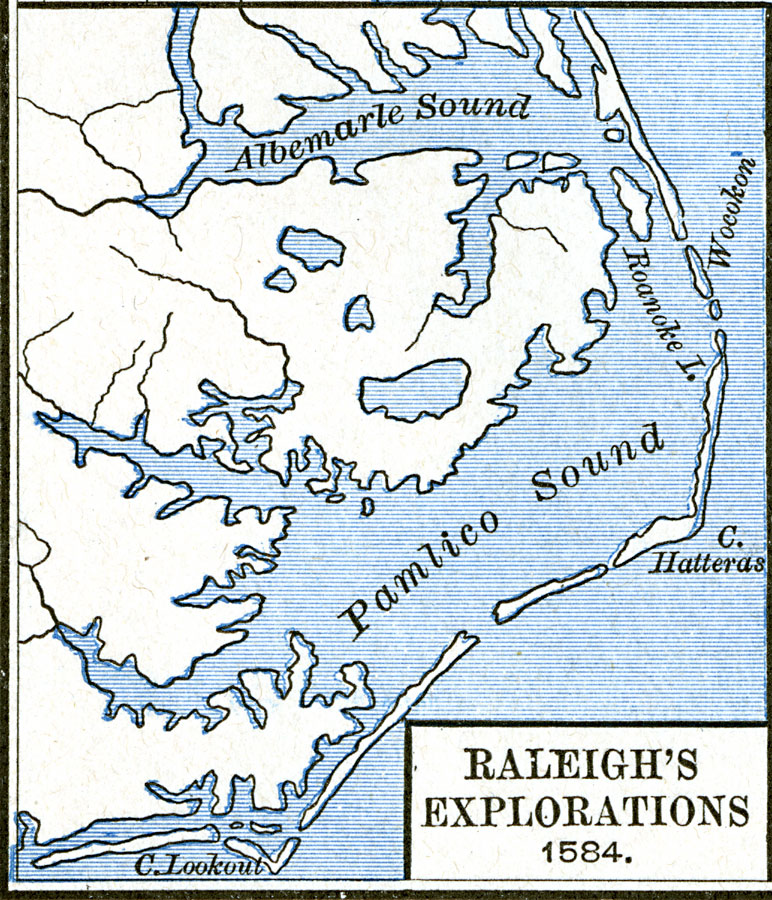
Description: A map of the Albemarle and Pamlico Sound showing the area of the explorations of Sir William Raleigh, in what is now North Carolina.
Place Names: North Carolina, Albemarle, �Cape Hatteras, �Cape Lookout, �Pamlic
ISO Topic Categories: oceans,
location,
inlandWaters
Keywords: Raleigh's Explorations, borders, oceans,
location,
inlandWaters, Unknown, 1584
Source: Robert H. Labberton, New Historical Atlas and General History (New York, NY: Townsend MacCoun, 1886) Plate LVIII
Map Credit: Courtesy the private collection of Roy Winkelman |
|