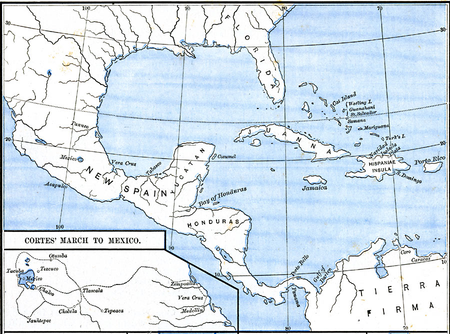
Description: A map of Mexico showing the sites of the Spanish Conquistador expedition under Hernán Cortés in 1519. The map shows Juanna (Cuba), Tabasco, Vera Cruz, and Mexico City (Tenochtitlan). An inset map details the route taken by Cortéz from Vera Cruz to the interior.
Place Names: Mexico, Acapulco, �Cozumel, �Honduras, �Veracru
ISO Topic Categories: oceans,
location,
inlandWaters
Keywords: Cortes' March to Mexico, borders, �historical, historical event, oceans,
location,
inlandWaters, Unknown, 1519
Source: Robert H. Labberton, New Historical Atlas and General History (New York, NY: Townsend MacCoun, 1886) Plate LIX
Map Credit: Courtesy the private collection of Roy Winkelman |
|