mapsMaps ETC Site map
 Maps ETC > North America > A Regional Map of North America > The Country Around Montreal and New York, 1775–1783
Site Map 

The Country Around Montreal and New York, 1775–1783

The Country Around Montreal and New York


Title: The Country Around Montreal and New York
Projection: Unknown,
Source Bounding Coordinates:
W: -75 E: -73 N: 44 S: 42

Main Map Page
Zoomify Version
B/W PDF Version
Color PDF Version
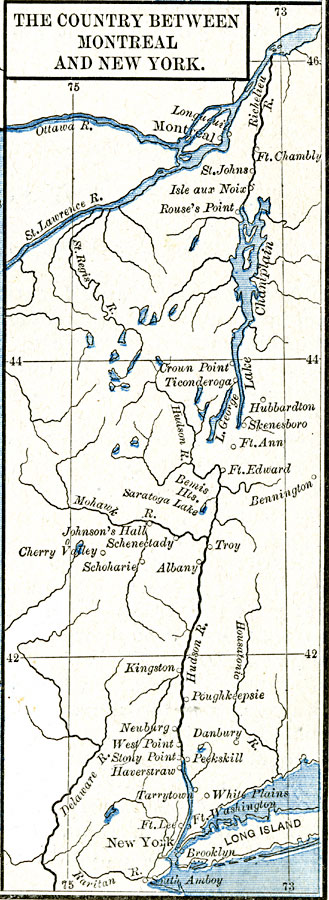
Description: The country around Montreal and New York.
Place Names: A Regional Map of North America, Canada, Connecticut, New Jersey, New York, United States,
ISO Topic Categories: oceans, location, inlandWaters
Keywords: The Country Around Montreal and New York, borders, oceans, location, inlandWaters, Unknown, 1775–1783
Source: Robert H. Labberton, New Historical Atlas and General History (New York, NY: Townsend MacCoun, 1886) Plate LXV
Map Credit: Courtesy the private collection of Roy Winkelman
SearchLicensePDF HelpGIS Help Google Earth Help Zoomify Help

 Maps ETC > North America > A Regional Map of North America > The Country Around Montreal and New York, 1775–1783
Site Map