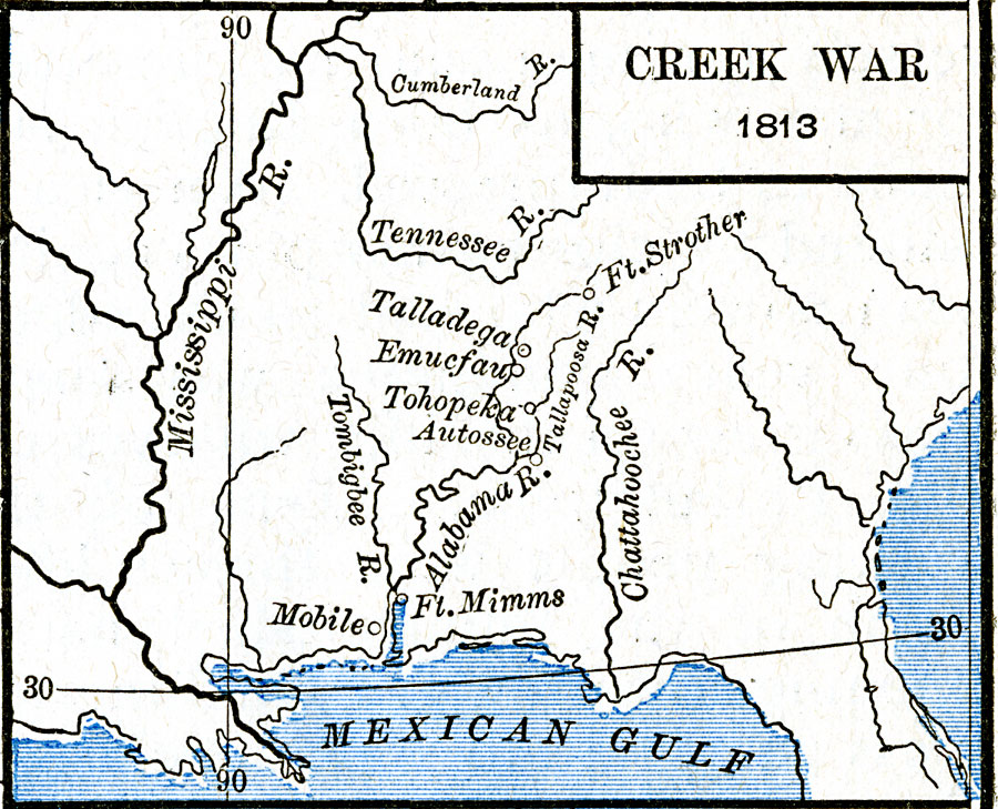
Description: A map of the southern United States showing the area and battle sites of the Creek War of 1813, also known as the Red Stick War. The map shows the Upper Creek territory along the Alabama and Tallapoosa rivers, Fort Mimms near the Battle of Burnt Corn Creek, Emucfau, Fort Strother (Andrew Jackson's headquarters), and Tohopeka near the final Battle of Horseshoe Bend.
Place Names: Growth of Nation, Mobile, �Talladega, �Tohopeka, �Creek War, �War of 181
ISO Topic Categories: oceans,
location,
inlandWaters
Keywords: Creek War, borders, �historical, kNativeAmerican, other military, oceans,
location,
inlandWaters, Unknown, 1813
Source: Robert H. Labberton, New Historical Atlas and General History (New York, NY: Townsend MacCoun, 1886) Plate LXVIII
Map Credit: Courtesy the private collection of Roy Winkelman |
|