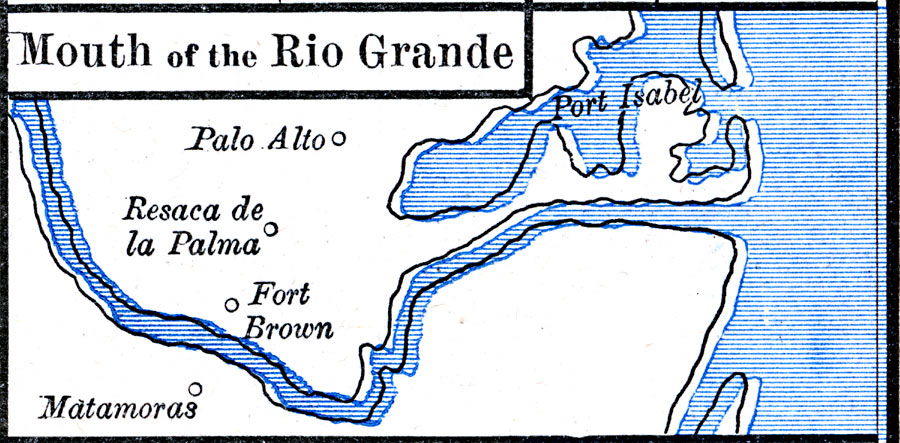
Description: A map of the area around the mouth of the Rio Grande River in Texas, scene of the opening battles of the Mexican–American War (1846–1848), including Palo Alto, Resaca de la Palma, and Matamoras.
Place Names: Texas, Fort Brown, �Matamoras, �Palo Alto, �Port Isabel, �Resaca de la Palm
ISO Topic Categories: oceans,
location,
inlandWaters
Keywords: The Mexican War - Mouth of the Rio Grande, borders, �historical, other military, oceans,
location,
inlandWaters, Unknown, 1846–1848
Source: Robert H. Labberton, New Historical Atlas and General History (New York, NY: Townsend MacCoun, 1886) Plate LXIX
Map Credit: Courtesy the private collection of Roy Winkelman |
|