mapsMaps ETC Site map
 Maps ETC > Globes and Multi-continent > Regional Miscellaneous > The World as known to the Mesopotamian Nations, 4000–400 B.C.
Site Map 

The World as known to the Mesopotamian Nations, 4000–400 B.C.

The World as known to the Mesopotamian Nations


Title: The World as known to the Mesopotamian Nations
Projection: Unknown,
Source Bounding Coordinates:
W: -20 E: 70 N: 60 S: 20

Main Map Page
Zoomify Version
B/W PDF Version
Color PDF Version
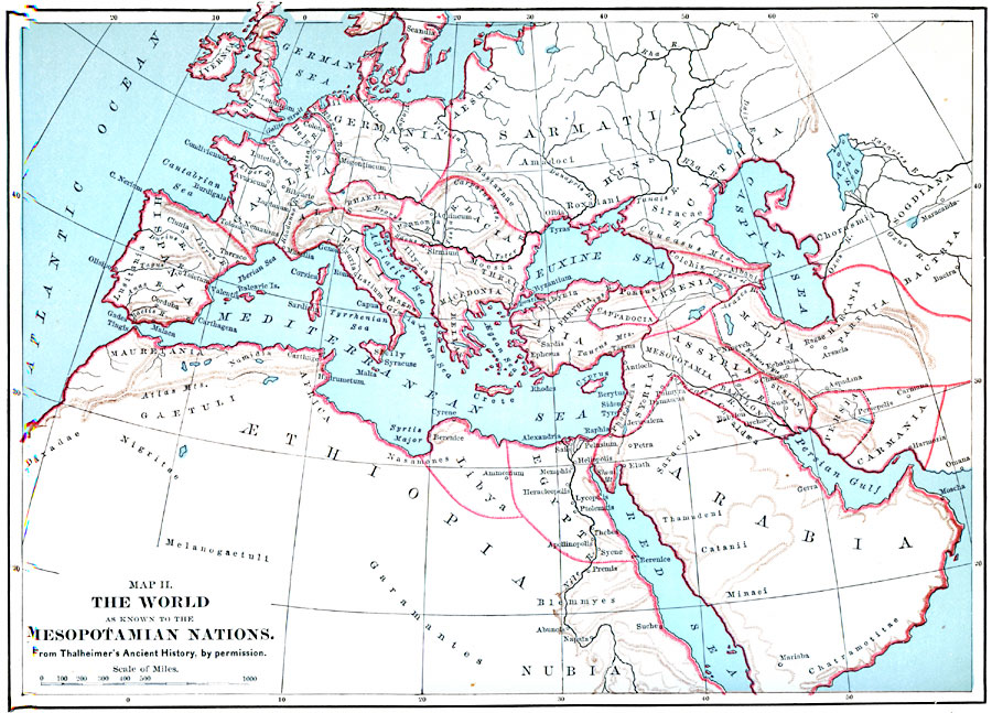
Description: The World as known to the Mesopotamian Nations.
Place Names: Regional Miscellaneous, Africa, Asia, Europ
ISO Topic Categories: physical, political, kWorldMedSea, kWorldAfroAsia, kWorldEurasia
Keywords: The World as known to the Mesopotamian Nations, physical, political, physical features, country borders, physical, political, kWorldMedSea, kWorldAfroAsia, kWorldEurasia, Unknown, 4000–400 B.C.
Source: John Clark Ridpath, Cyclopedia of Universal History (Cincinnati, OH: The Jones Brothers Publishing Co., 1885) 138
Map Credit: Courtesy the private collection of Roy Winkelman
SearchLicensePDF HelpGIS Help Google Earth Help Zoomify Help

 Maps ETC > Globes and Multi-continent > Regional Miscellaneous > The World as known to the Mesopotamian Nations, 4000–400 B.C.
Site Map