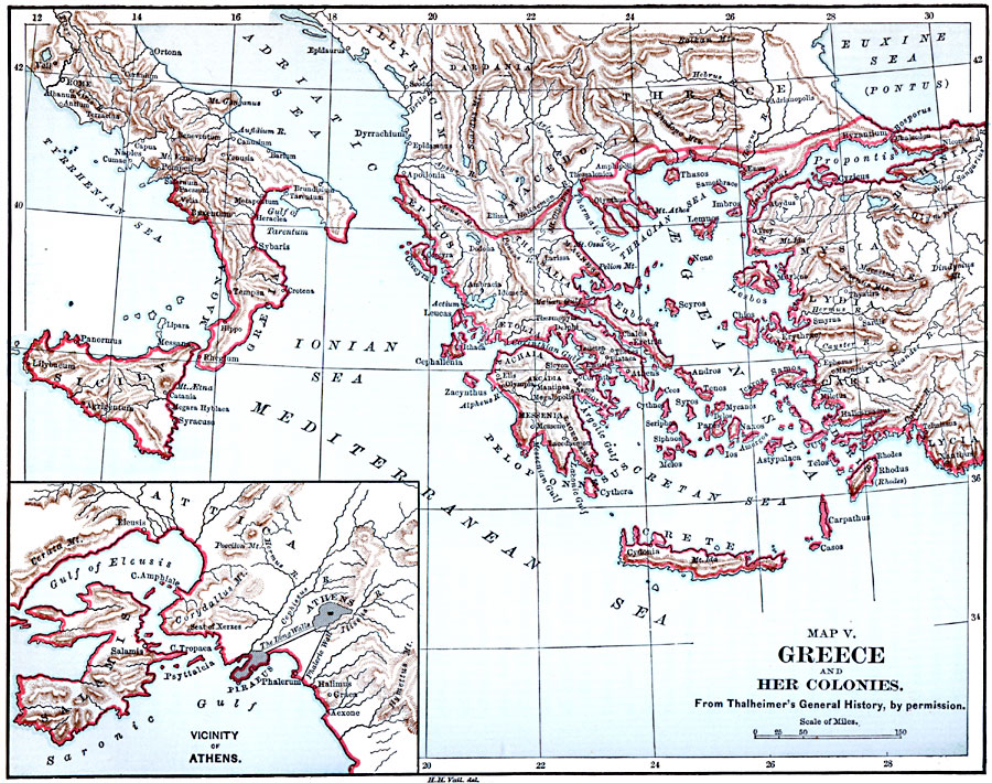
Description: A map of early Hellas and her colonies in the eastern Mediterranean region, including southern Italy and Sicily, Crete, and coastal Asia Minor. An inset map details the vicinity of Athens and Piraeus, including the long walls and city fortification.
Place Names: Mediterranean Europe, Greece, Turkey, Sicily, �Ital
ISO Topic Categories: boundaries,
inlandWaters,
location,
oceans
Keywords: Greece and her Colonies, physical, �political, physical features, country borders, boundaries,
inlandWaters,
location,
oceans, Unknown, 1600–265 BC
Source: John Clark Ridpath, Cyclopedia of Universal History (Cincinnati, OH: The Jones Brothers Publishing Co., 1885) 481
Map Credit: Courtesy the private collection of Roy Winkelman |
|