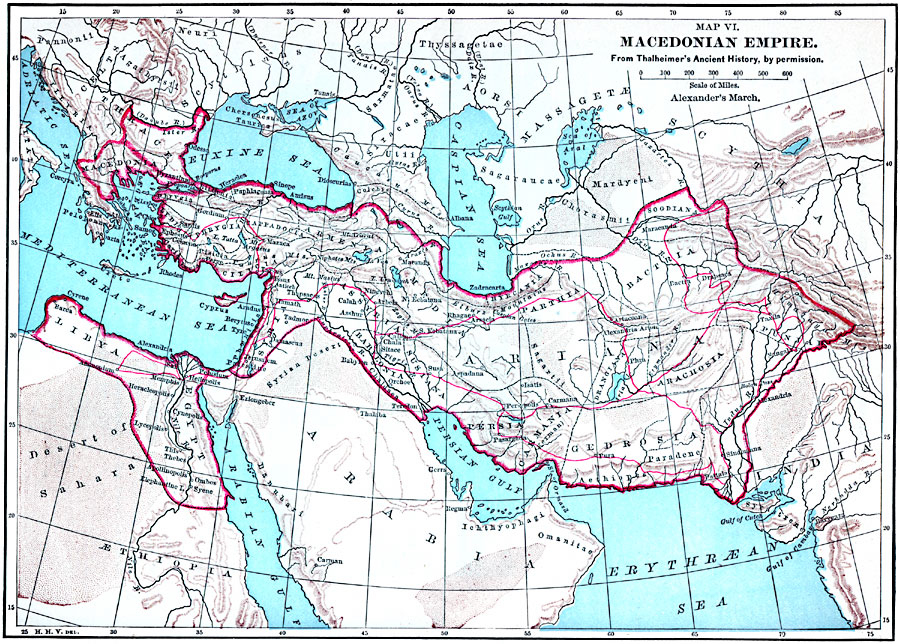
Description: A map showing the greatest extent of the Macedonian Empire, from Macedonia and Thrace in Europe, across Asia Minor and Persia to the Himalaya and the Indus River, and from Mesopotamia to Syria and around the Mediterranean to Egypt and Libya. Principal cities, mountain systems, and rivers are shown.
Place Names: Regional Miscellaneous, Arabia, �Egypt, �Ariana, �Thrace, �Babyloni
ISO Topic Categories: physical, �political, kWorldMedSea, kWorldAfroAsia, kWorldEurasia
Keywords: Macedonian Empire, physical, �political, physical features, country borders, physical, �political, kWorldMedSea, kWorldAfroAsia, kWorldEurasia, Unknown, 700–168 BC
Source: John Clark Ridpath, Cyclopedia of Universal History (Cincinnati, OH: The Jones Brothers Publishing Co., 1885) 525
Map Credit: Courtesy the private collection of Roy Winkelman |
|