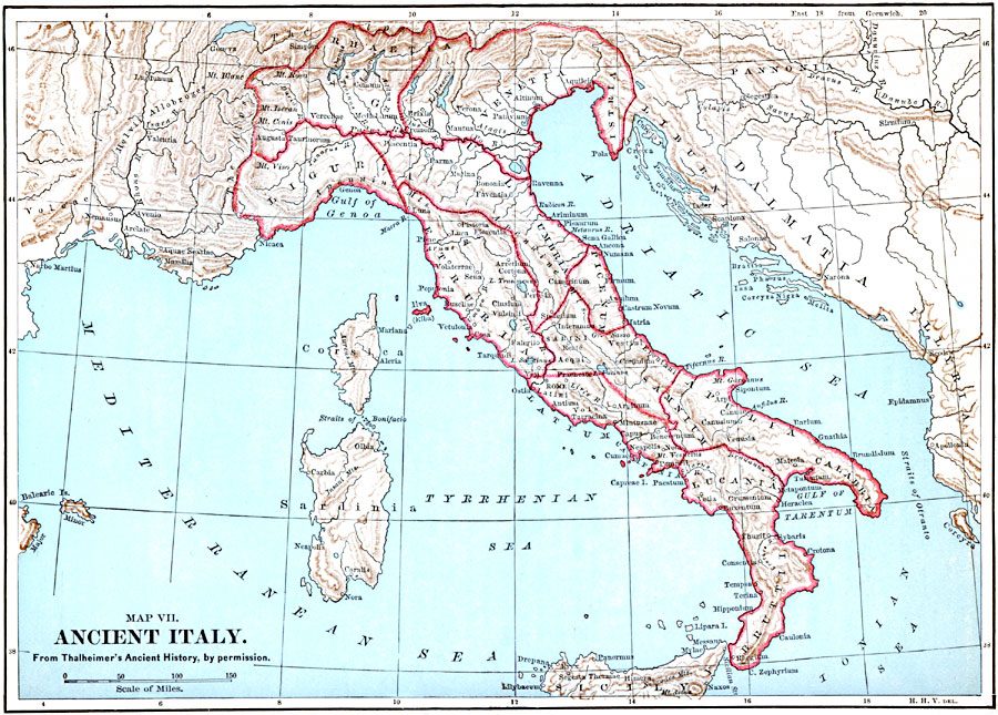
Description: A map of ancient Italy showing the early provinces and principal cities.
Place Names: Italy, Itali
ISO Topic Categories: boundaries,
inlandWaters,
location,
oceans
Keywords: Ancient Italy, physical, �political, physical features, country borders, boundaries,
inlandWaters,
location,
oceans, Unknown, 509 BC to AD 476
Source: John Clark Ridpath, Cyclopedia of Universal History (Cincinnati, OH: The Jones Brothers Publishing Co., 1885) 594
Map Credit: Courtesy the private collection of Roy Winkelman |
|