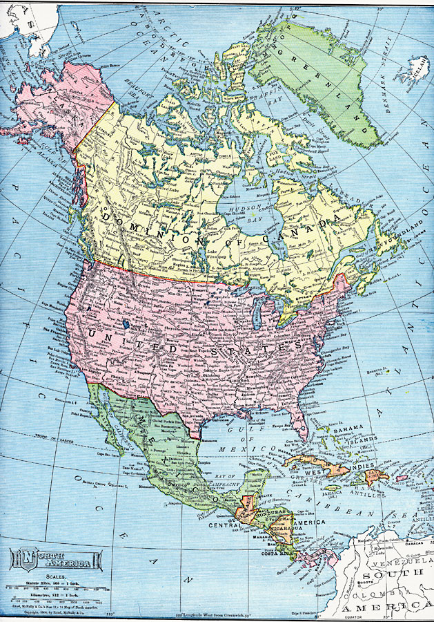
Description: North America, with Central America included.
Place Names: A Complete Map of North America, Bahamas, �Canada, �Cuba, �Mexico, �United States, �Honduras, �Guatemala, �Belize, �Nicaragua, �Costa Rica, �Panama, �Venezuela, �Columbia, �Jamaica, �Hait
ISO Topic Categories: boundaries,
inlandWaters,
location,
oceans
Keywords: North America, physical, �political, physical features, country borders, boundaries,
inlandWaters,
location,
oceans, Unknown, 1909
Source: Chandler B. Beach, A.M., The New Student's Reference Work for Teachers Students and Families Vol 1 (Chicago, IL: F. E. Compton and Company, 1909) 58
Map Credit: Courtesy the private collection of Roy Winkelman |
|