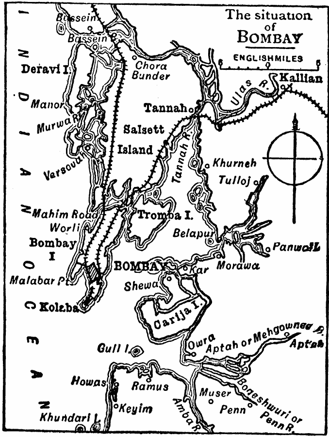
Description: A sketch map from 1909 of the area around Bombay (Mumbai) Harbor, showing the islands of Deravi, Salsette, Tromba, Bombay, Kolaba, and Carija, the railroads north from Kolaba, and the urban area of Mumbai at the time.
Place Names: India , Mumbai , �Bombay, �Kolaba, �Tannah, �Kallia
ISO Topic Categories: oceans,
inlandWaters,
location,
transportation
Keywords: The Situation of Bombay, physical, �transportation, physical features, railroads, oceans,
inlandWaters,
location,
transportation, Unknown, 1909
Source: Chandler B. Beach, A.M., The New Student's Reference Work for Teachers Students and Families Vol 1 (Chicago, IL: F. E. Compton and Company, 1909) 240
Map Credit: Courtesy the private collection of Roy Winkelman |
|