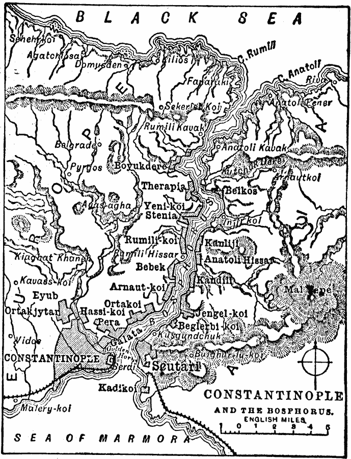
Description: A map from 1909 of the area around Constantinople, Turkey, showing the Sea of Marmora, the Bosphorus (Bosporus), and Black Sea, terrain features, railways, the cities of Constantinople and Scutari, and neighboring cities and towns.
Place Names: Turkey, Istanbul, �Constantinople, �Bebek, �Kadiko, �Eyu
ISO Topic Categories: location,
oceans,
inlandWaters
Keywords: Constantinople, physical, �political, physical features, location,
oceans,
inlandWaters, Unknown, 1909
Source: Chandler B. Beach, A.M., The New Student's Reference Work for Teachers Students and Families Vol. 1 (Chicago, IL: F. E. Compton and Company, 1909) 447
Map Credit: Courtesy the private collection of Roy Winkelman |
|