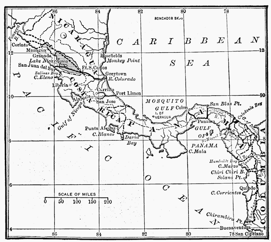
Description: The American Isthmus, showing the routes investigated for a ship-canal.
Place Names: A Regional Map of North America, Costa Rica, �Nicaragua, �Panam
ISO Topic Categories: boundaries,
oceans,
location,
transportation,
farming,
planningCadastre
Keywords: The American Isthmus, political, �physical, �transportation, physical features, country borders, water routes, boundaries,
oceans,
location,
transportation,
farming,
planningCadastre, Unknown, 1913
Source: E. Benjamin Andrews, History of the United States Vol VI (New York, NY: Charles Scribner's Sons, 1913) 52
Map Credit: Courtesy the private collection of Roy Winkelman |
|