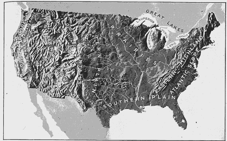
Description: A relief map from 1906 of the United States showing terrain features of mountain systems and highlands, basins, plains, prairies, lakes, rivers, and coastal features.
Place Names: A Complete Map of the United States, Great Lakes, �Atlantic Slope, �Eastern Highland, �Southern Plain, �Prairies, �Western Plain, �Rocky Mountains, �Western Highland, �Great Basin, �Sierra Nevada, �Cascade Range, �Pacific Slope,
ISO Topic Categories: location,
inlandWaters
Keywords: Natural Regions of the United States, physical, kRelief, physical features, location,
inlandWaters, Unknown, 1906
Source: Alexis Everett Frye, Frye's First Steps in Geography (Boston, MA: Ginn and Company, 1906) 49
Map Credit: Courtesy the private collection of Roy Winkelman |
|