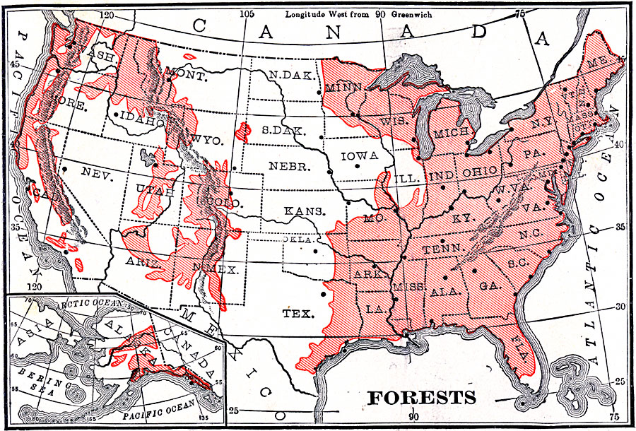
Description: A map from 1906 of the United States showing the principal forest regions, including the forests of Alaska.
Place Names: Forestry,
ISO Topic Categories: biota,
inlandWaters,
location,
oceans,
boundaries
Keywords: Forest Regions of the United States, physical, �statistical, physical features, vegetation, biota,
inlandWaters,
location,
oceans,
boundaries, Unknown, 1906
Source: Alexis Everett Frye, Frye's First Steps in Geography (Boston, MA: Ginn and Company, 1906) 59
Map Credit: Courtesy the private collection of Roy Winkelman |
|