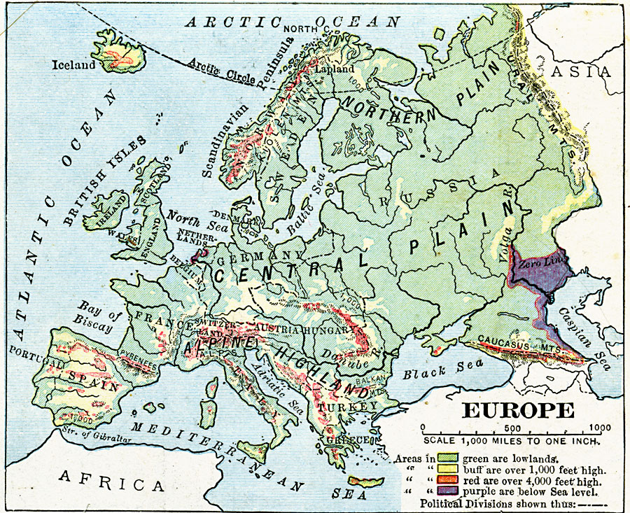
Description: A physical map of Europe showing land elevations from below sea level, lowlands, elevations over 1,000 feet, and elevations over 4,000 feet. Plains, highlands, major rivers, and political divisions are shown.
Place Names: A Complete Map of Europe, France, �Spain, �Greece, �Portugal, �Italy, �Germany, �United Kingdom, �Swede
ISO Topic Categories: inlandWaters,
location,
oceans,
elevation
Keywords: Land Elevations of Europe, physical, physical features, inlandWaters,
location,
oceans,
elevation, Unknown, 1906
Source: Alexis Everett Frye, Frye's First Steps in Geography (Boston, Massachusetts: Ginn and Company, 1906) 87
Map Credit: Courtesy the private collection of Roy Winkelman |
|