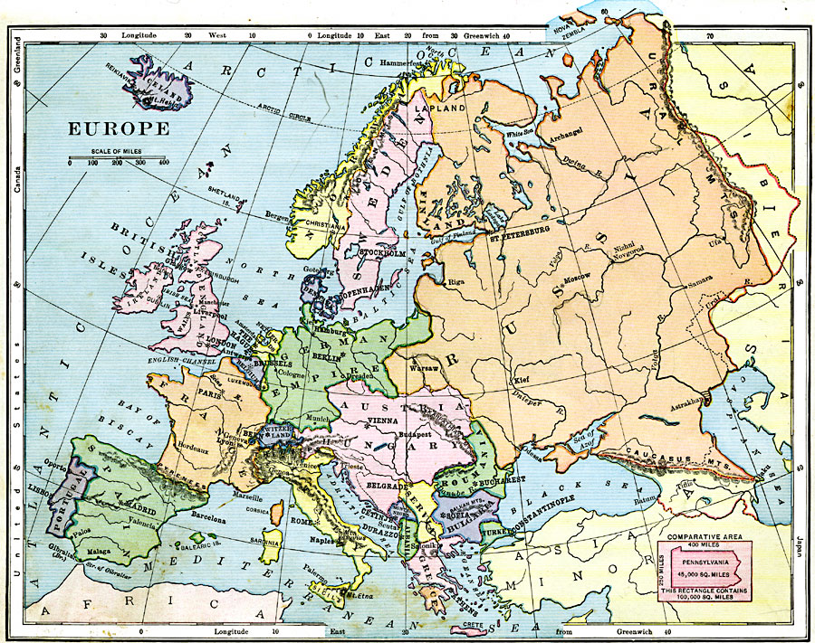
Description: A map showing country boundaries of Europe as they existed in 1906, including major cities and rivers. This map also includes an outline map of Pennsylvania for area size comparison.
Place Names: A Complete Map of Europe, France, �Greece, �Italy, �Portugal, �Spain, �Sweden, �United Kingdom, �Romania, �German Empire, �Russia,
ISO Topic Categories: boundaries,
inlandWaters,
location,
oceans
Keywords: Europe, physical, �political, kComparativeArea, physical features, country borders, boundaries,
inlandWaters,
location,
oceans, Unknown, 1906
Source: Alexis Everett Frye, Frye's First Steps in Geography (Boston, Massachusetts: Ginn and Company, 1906) 89
Map Credit: Courtesy the private collection of Roy Winkelman |
|