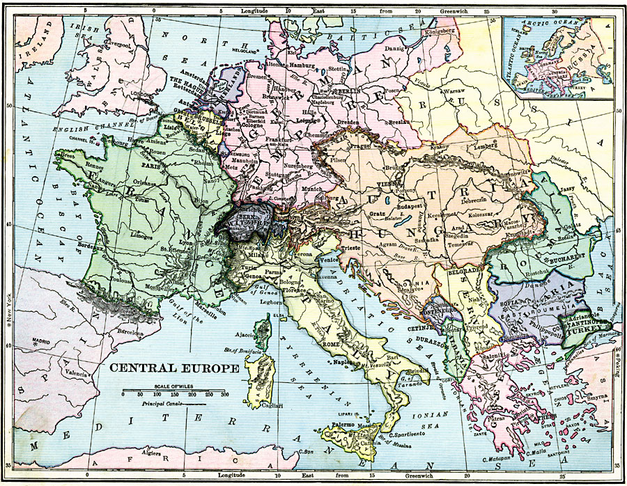
Description: A physical map of pre–WWI Central Europe, including major rivers, major cities, and capitals.
Place Names: A Complete Map of Europe, France, �Greece, �Italy, �Spain, �United Kingdom, �Romania, �German Empire, �Netherlands, �Belgium, �Luxemburg, �Switzerland, �Austria-Hungary, �Montenegro, �Albania, �Servia, �Bulgaria, �Turkey,
ISO Topic Categories: boundaries,
inlandWaters,
location,
oceans
Keywords: Central Europe, physical, �political, physical features, country borders, boundaries,
inlandWaters,
location,
oceans, Unknown, 1906
Source: Alexis Everett Frye, Frye's First Steps in Geography (Boston, Massachusetts: Ginn and Company, 1906) 97
Map Credit: Courtesy the private collection of Roy Winkelman |
|