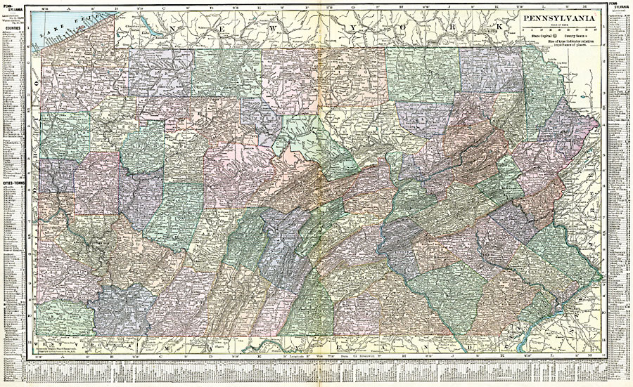
Description: A map from 1920 of Pennsylvania showing the capital at Harrisburg, counties and county seats, principal cities and towns, railroads, mountain systems, shoreline on Lake Erie, and rivers. A grid reference in the margins of the map lists counties, principal cities, and towns of Pennsylvania.
Place Names: Pennsylvania, Allegheny, �Erie, �Gettysburg, �Harrisburg, �Lancaster, �Philadelphia, �Pittsburg, �Reading, �Scranton, �Titusvill
ISO Topic Categories: oceans,
location,
inlandWaters,
boundaries
Keywords: Pennsylvania, borders, �political, �physical, country borders,
county borders, oceans,
location,
inlandWaters,
boundaries, Unknown, 1920
Source: , The New Reference Atlas of the World - A New Series of Physical, Political and Historical Maps compiled from Government Surveys and exhibiting the Latest Results of Geographical Research (New York, NY: C. S. Hammond & Company, 1920) 72-73
Map Credit: Courtesy the private collection of Roy Winkelman |
|