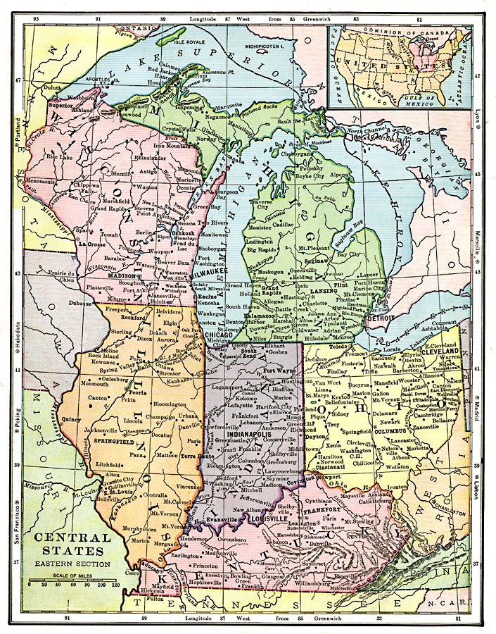
Description: The east central states, showing physical features.
Place Names: Midwest States, Lansing, �Michigan, �Madison, �Wisconsin, �Chicago, �Illinois, �Indianapolis, �Indiana, �Columbus, �Ohio, �Frankfort, �Kentucky, �Midwest, �East Central, ��Great Lake
ISO Topic Categories: boundaries,
location,
inlandWaters
Keywords: East Central States, physical, physical features, boundaries,
location,
inlandWaters, Unknown, 1906
Source: Alexis Everett Frye, Frye's First Steps in Geography (Boston, MA: Ginn and Company, 1906) 155
Map Credit: Courtesy the private collection of Roy Winkelman |
|