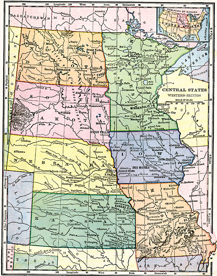
Description: The West Central states, showing physical features.
Place Names: Midwest States, St. Paul, �Minnesota, �Des Moines, �Iowa, �Jefferson City, �Missouri, �Bismarck, �North Dakota, �Pierre, �South Dakota, �Lincoln, �Nebraska, �Topeka, �Kansas,
ISO Topic Categories: boundaries,
inlandWaters,
location
Keywords: West Central States, physical, physical features, boundaries,
inlandWaters,
location, Unknown, 1906
Source: Alexis Everett Frye, Frye's First Steps in Geography (Boston, MA: Ginn and Company, 1906) 159
Map Credit: Courtesy the private collection of Roy Winkelman |
|