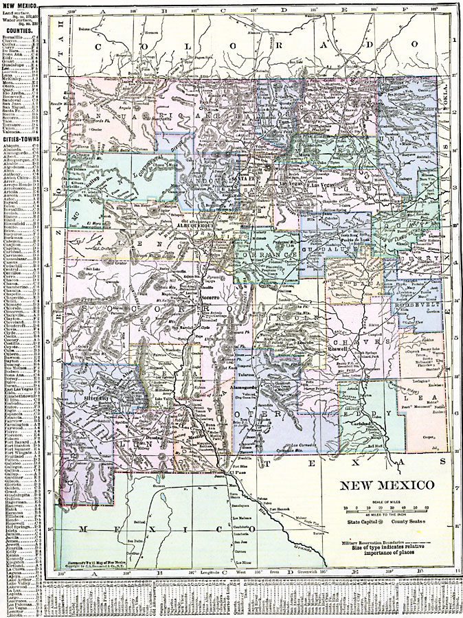
Description: New Mexico.
Place Names: New Mexico, Albuquerque, �Ft. Sumner, �Ft. West, �Gallup, �Mesilla, �Mora, �Mowry, �Sante Fe, �Silver City, �Tao
ISO Topic Categories: oceans,
location,
inlandWaters,
boundaries
Keywords: New Mexico, borders, �political, �physical, county borders, oceans,
location,
inlandWaters,
boundaries, Unknown, 1920
Source: , The New Reference Atlas of the World - A New Series of Physical, Political and Historical Maps compiled from Government Surveys and exhibiting the Latest Results of Geographical Research (New York, NY: C. S. Hammond & Company, 1920) 118
Map Credit: Courtesy the private collection of Roy Winkelman |
|