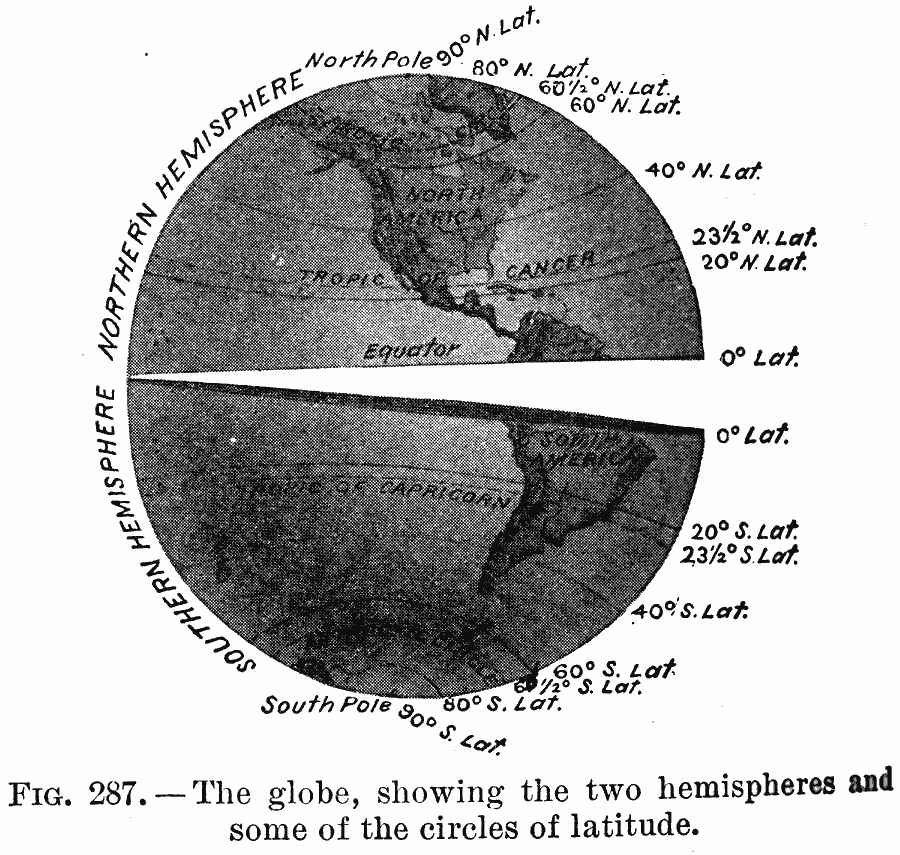
Description: The globe, showing the two hemispheres and some of the circles of latitude.
Place Names: Regional Miscellaneous, Antarctica, �North America, �South Americ
ISO Topic Categories: hemispheres, �physical, kWorldAmericas
Keywords: The Globe, hemispheres, �physical, physical features, hemispheres, �physical, kWorldAmericas, Unknown, 1910
Source: Ralph S. Tarr, B.S., F.G.S.A. and Frank M. McMurry, Ph.D., New Geographies (Second Book) (New York , NY: The MacMillan Company, 1910) 202
Map Credit: Courtesy the private collection of Roy Winkelman |
|