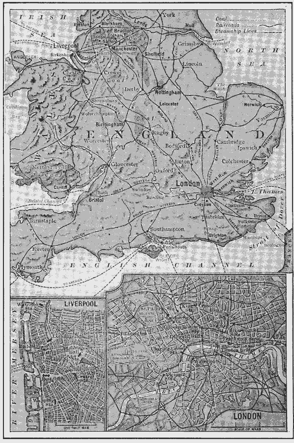
Description: A map of Wales and southern England from 1910, showing the major coal districts, railways (with the names of the lines), steamship routes, major cities and ports, and rivers. Two inset maps show details of the cities Liverpool and London, with docks, railway stations, major thoroughfares, and important buildings.
Place Names: United Kingdom, Liverpool, �Londo
ISO Topic Categories: oceans,
location,
inlandWaters
Keywords: The locations of London and Liverpool, physical, �transportation, geological, water routes,
railroads, oceans,
location,
inlandWaters, Unknown, 1910
Source: Ralph S. Tarr, B.S., F.G.S.A. and Frank M. McMurry, Ph.D., New Geographies (Second Book) (New York , NY: The MacMillan Company, 1910) 271
Map Credit: Courtesy the private collection of Roy Winkelman |
|